- Home
- Programme Areas
- Policy Research
Policy Research
Policy Research
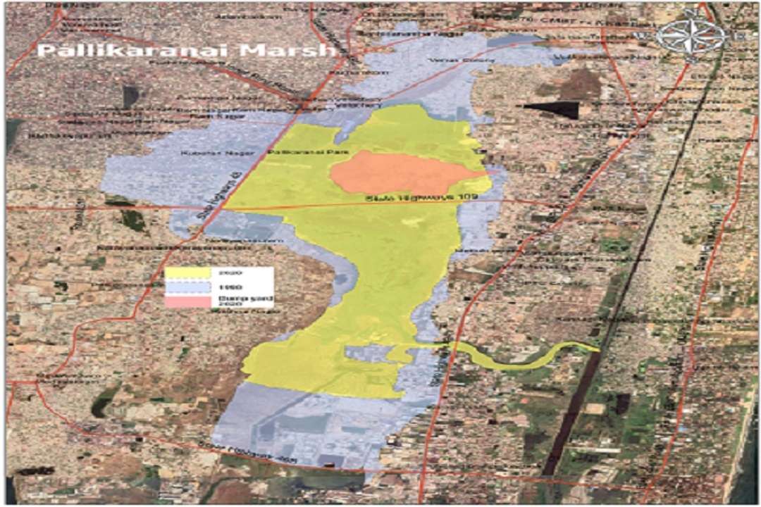
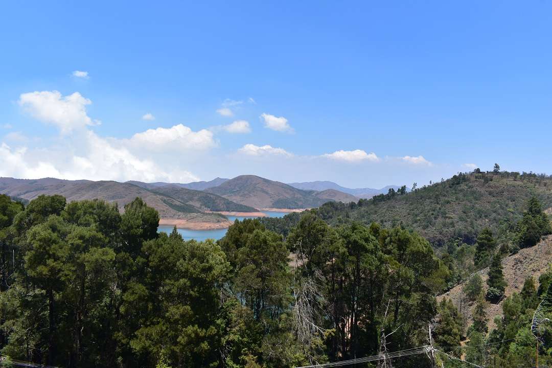
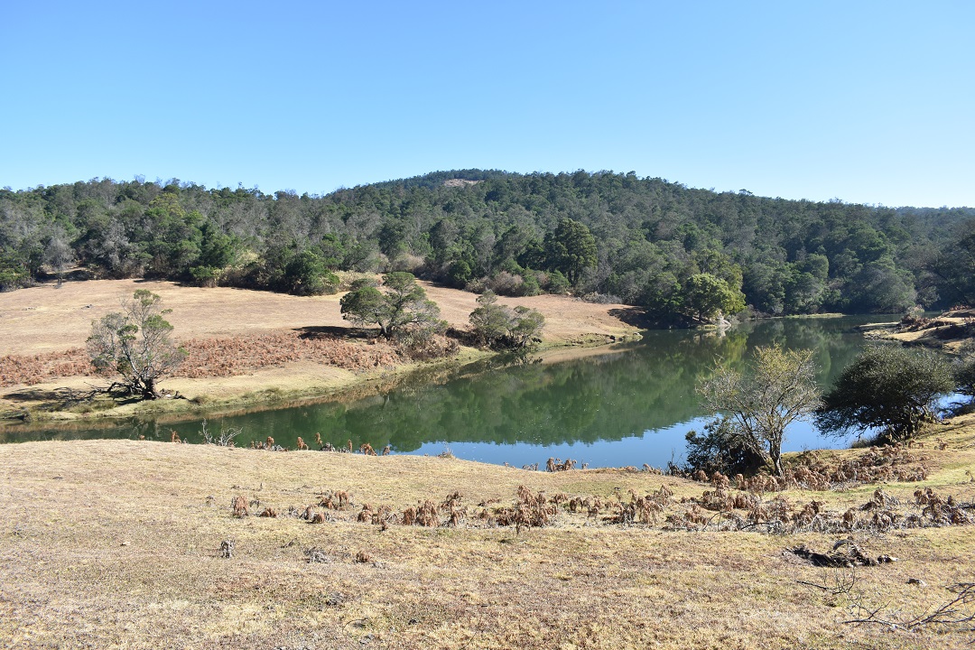
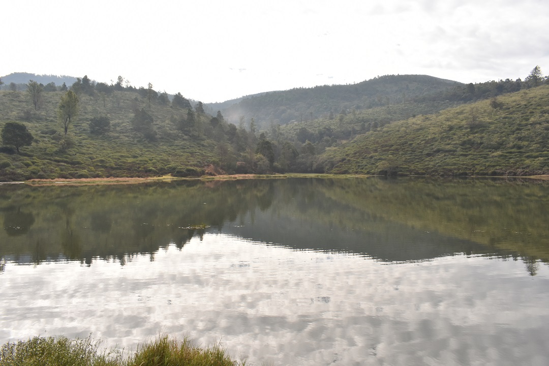
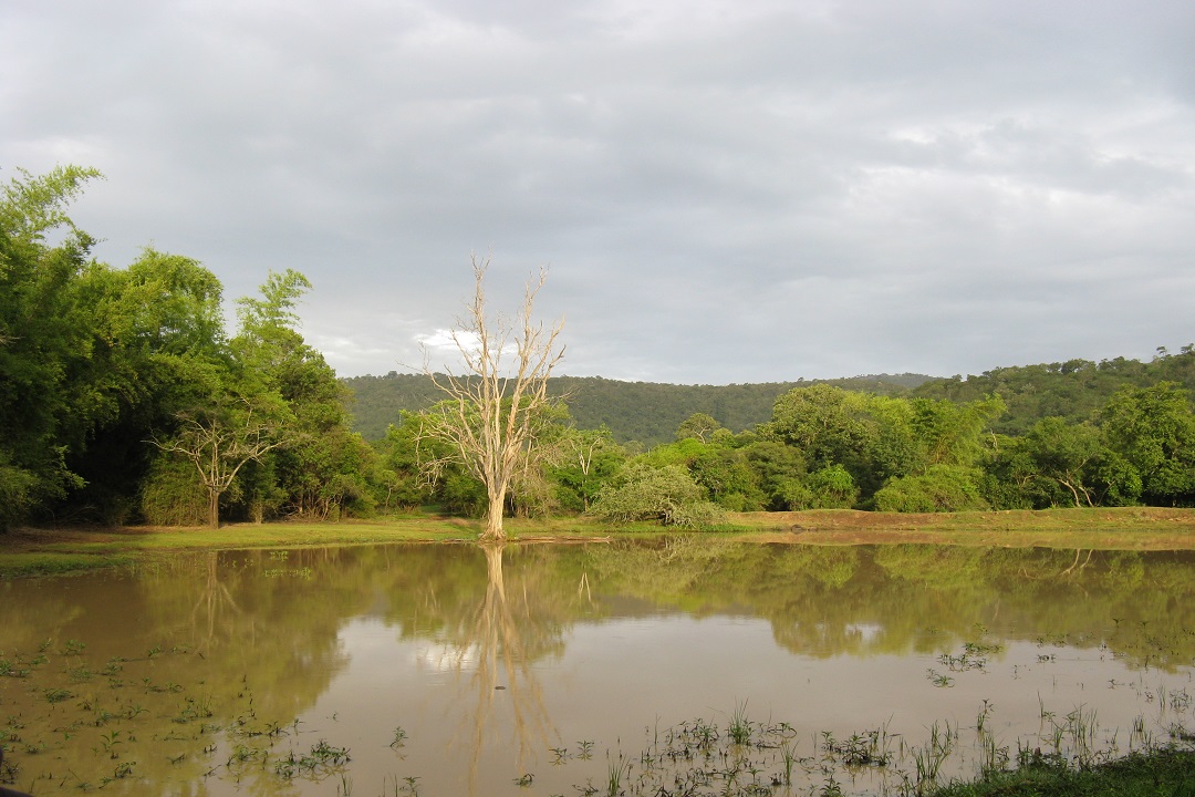
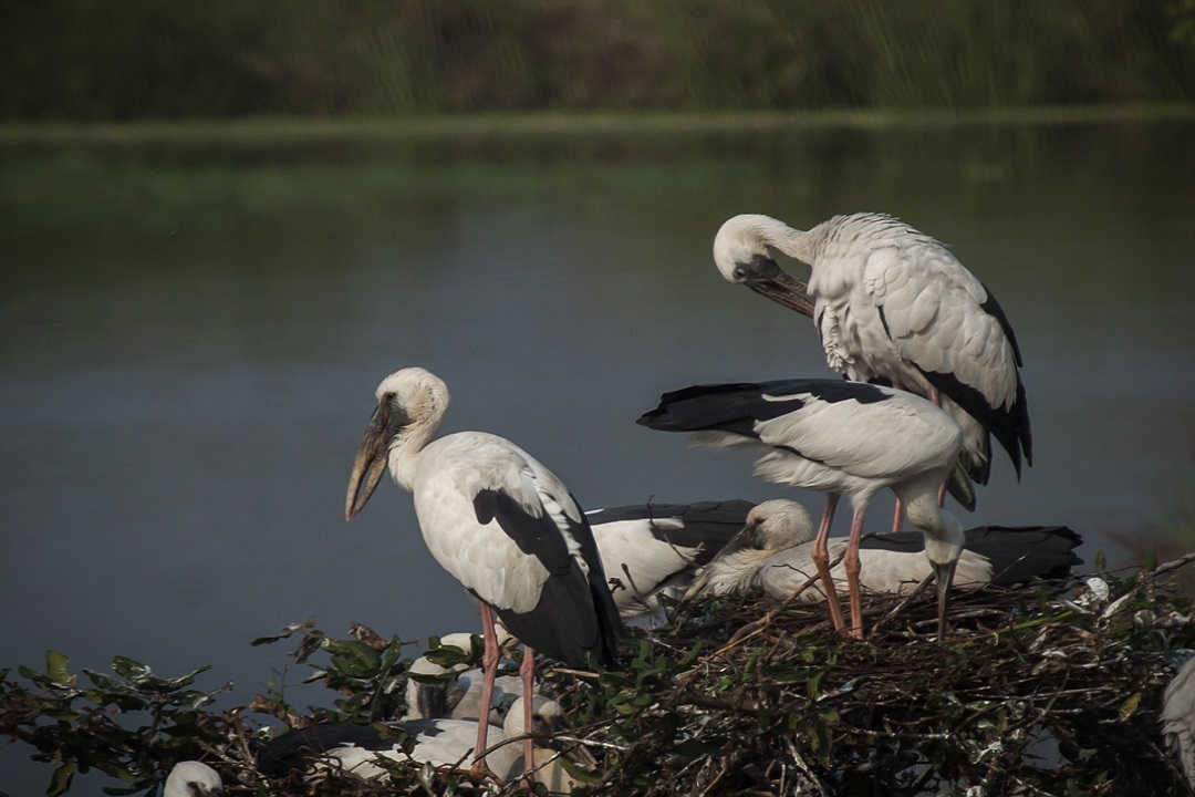
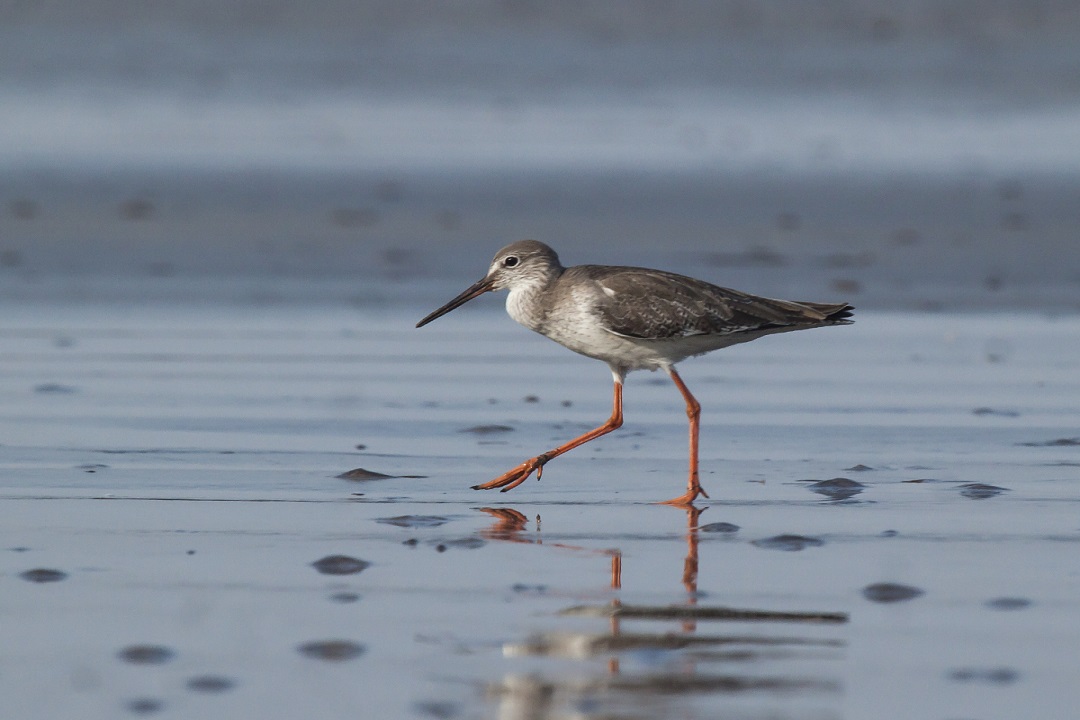
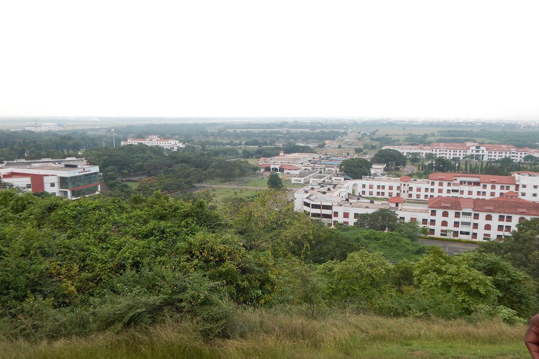
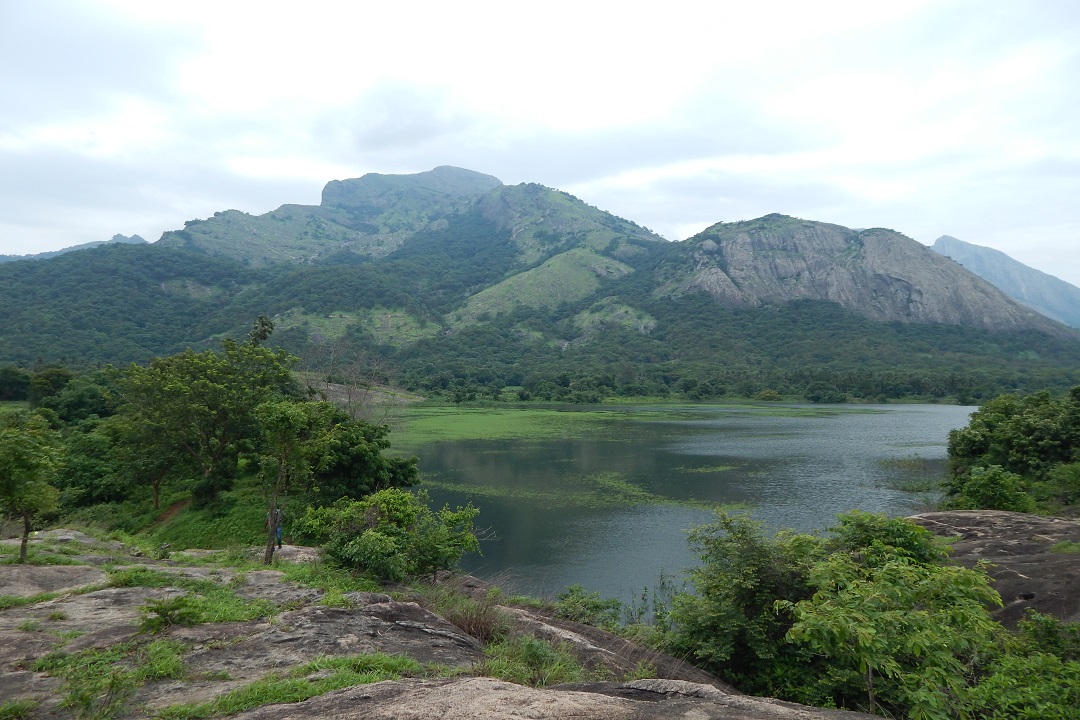
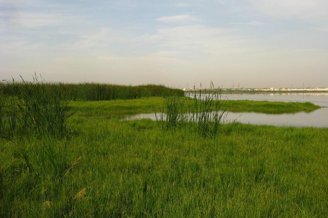
With the core objective of mainstreaming conservation goals across different sectors and levels of public administration in Tamil Nadu, the project aimed to create dialogue and integration of different departments and stakeholders to strengthen the dissemination of information and engagement for the conservation of the Western Ghats. The most significant accomplishment was the support provided to the Department of Planning, Development and Special Initiatives to draft the Special Area Development Programme for the Western Ghats of Tamil Nadu. Through this project, we also managed to achieve the support of the National Biodiversity Action Plan at the state level
With the core objective of mainstreaming conservation goals across different sectors and levels of public administration in Tamil Nadu, the project aimed to create dialogue and integration of different departments and stakeholders to strengthen the dissemination of information and engagement for the conservation of the Western Ghats. The most significant accomplishment was the support provided to the Department of Planning, Development and Special Initiatives to draft the Special Area Development Programme for the Western Ghats of Tamil Nadu. Through this project, we also managed to achieve the support of the National Biodiversity Action Plan at the state level