Policy Research
Policy research being a major thrust area, our research repertoire includes several collaborative studies that are deeply rooted in science, backed by rigorous field assessments and meticulous mapping. From preparing master plans and plantation strategies for the government to mainstreaming conservation goals across different sectors and levels of public administration, our research spreads far and wide
Implemented for the Tamil Nadu State Wetland Authority
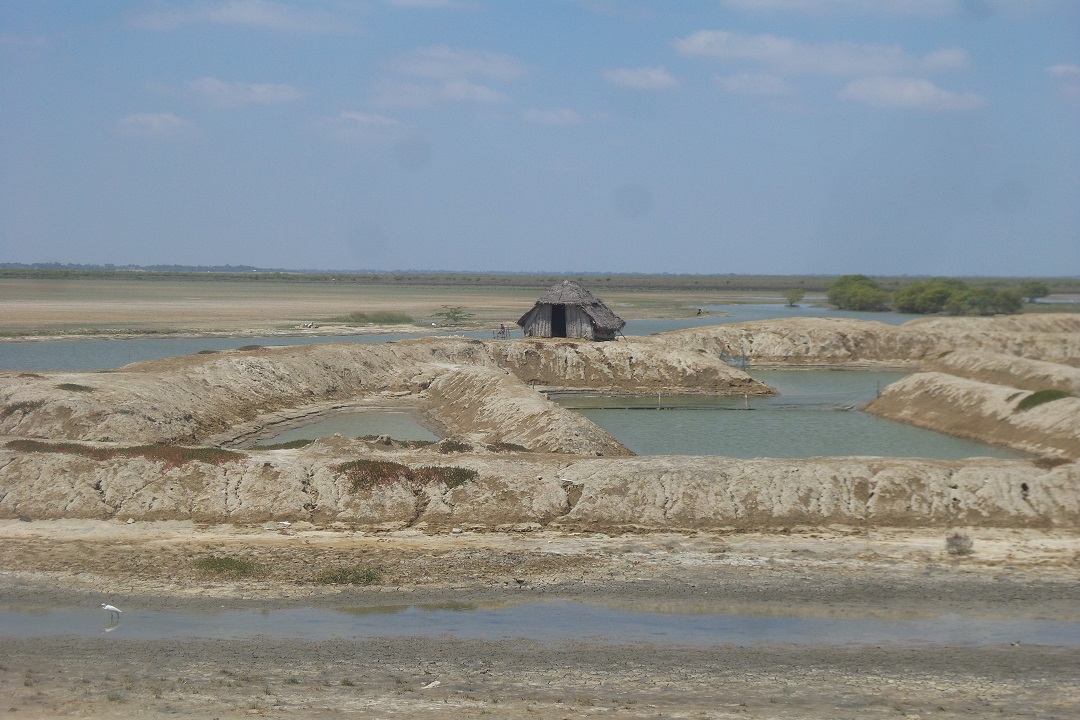
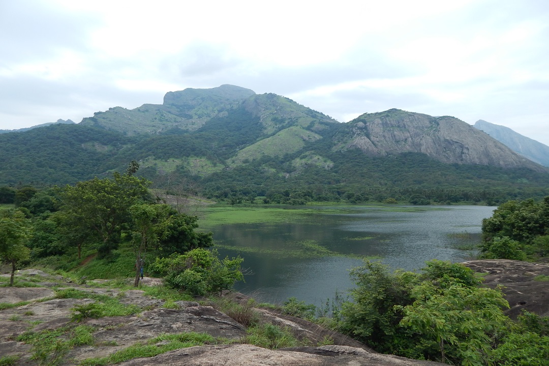
Preparation of integrated management plan for Pulicat - Zone of Influence" was carried out in 2022, focusing on the Pulicat bird sanctuary located in Tiruvallur District. The main objective of this project was to develop a comprehensive management plan for the sanctuary. This involved the preparation of a brief document followed by an integrated management plan, taking into consideration the major biotic and abiotic factors that influence the wetland and its biodiversity
The zone of influence around the wetland and its associated land uses were analysed and mapped to understand the ecological interactions and impacts. Based on proximity and direction, factors such as drainage, urbanisation, and land-use change were identified as significant influencing factors. Further, the project estimated the land use and land cover in the wetland's multiple buffer regions to ensure sustainable management practices
Implemented for the Tamil Nadu State Wetland Authority
The project focused on the preparation of applications for proposing new Ramsar sites of international importance. The specific locations were Kodaikanal, Coutralam waterfalls complex in Tirunelveli and the Aagayagangai falls (Kolli hills, Namakkal). To support this, data collection was conducted by a team consisting of biologists, hydrologists, and engineers to identify its unique ecological significance. This data collection process involved gathering information on landscape characteristics, hydrology, and vegetation density, including specifically identifying globally significant plant species and their details. Physical mapping techniques were employed to create a comprehensive understanding of the selected sites and their ecological value. Interaction with local communities and interviews with the respective department officials and frontline staff were an integral part of this process
Implemented for the Tamil Nadu Forest Department
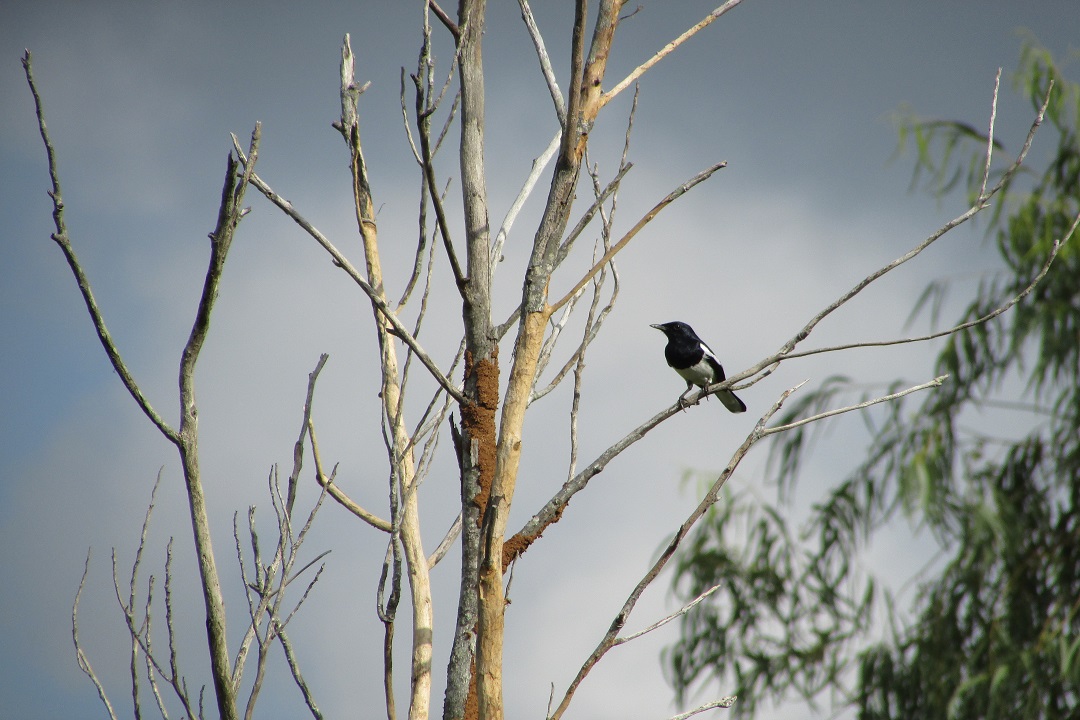
The landscape has been thoroughly assessed using a rapid assessment method. The study period coincided with the monsoon season. Flowers and fruits of herbaceous flora and grasses were recorded, which helped higher accuracy in identification in the field itself. The assessment included survey and identification of herbs, grasses, trees, shrubs, climbers, hydrophytes and creepers. The Allikuzhi RF biodiversity survey reveals that the dominant life form in the area is herbaceous plants, with a total of 151 species identified. In the Nanmangalam RF, the habitat type with the highest number of species richness is Herb with 207 species. We surveyed various animal groups, such as mammals, birds, reptiles, amphibians and invertebrates like butterflies and dragonflies. Our assessment found 121 species in total, including 62 birds, 7 reptiles, 4 amphibians, 43 invertebrates and 7 mammals. Out of these, 35 species are protected by the Indian Wildlife Protection Act of 1972, including five Sch-II species and two Sch-I species
Implemeted for the department of Environment, Tamil Nadu
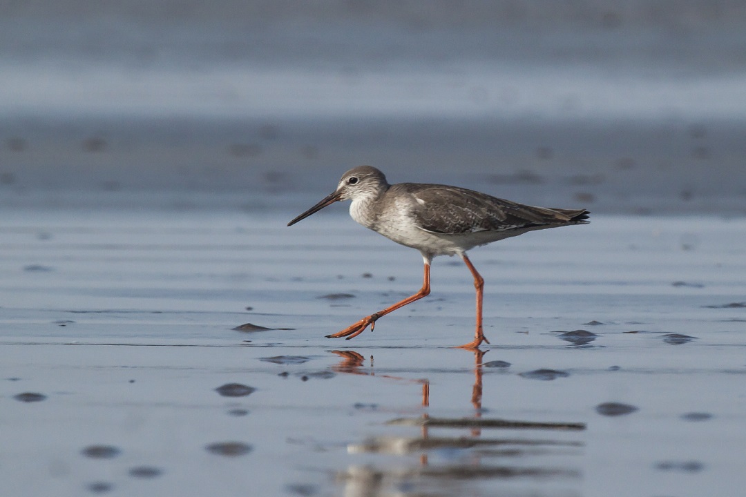
The aim of the project is to document and prepare a database of the biodiversity of the beach and its environs. Multiple field trips to the sites during various seasons have provided many interesting and lesser known organisms to the database. The major groups documented were Angiosperms, Avifauna, Butterflies, Odonates, Mammals, Molluscs and macros Crustaceans. The inventory has been compiled and documented
The project aims to articulate factors underlying neighbourhood preference in three cities in the developing world as cities have always been places of trade and innovation, as well as places of coexistence
Where and how we live have an enormous impact on global issues such as climate change and migration. The preferences of our generation will drive much of this as local governments and real estate developers respond in the form of new regulations, incentives and dwelling types. The goal of this study is to help professional urban planners and designers understand better the perceptions, values and motivations behind residents’ preferences for certain types of neighbourhoods
Many residents seem to prefer a freestanding, single-family house and car(s) in a use-segregated, low-density neighbourhood. Data shows the downsides of that model—higher per capita rates of land consumption and GHG emissions, longer and more expensive commutes. However, there has been little research on the nature of neighbourhood preference particularly as it relates to perceptions and motivations
To understand preferences, focus group discussions will be held with residents in contrasting neighbourhoods in three different cities (Chennai, Johannesburg and Rio). The countries these three cities represent the three of the BRICS countries with the highest potential for replicable results elsewhere in the developing world due to their relatively high growth rates and decentralized governments
Four neighbourhoods have been chosen in Chennai–Selaiyur, Mylapore, Anna Nagar and Kolathur–in which focus group discussions will be conducted to understand residents’ motivations for picking the particular neighbourhood. Following an extremely satisfying and productive discussion in Mylapore, we are currently recruiting primary residents between the ages of 25 and 50 who have moved to Selaiyur, Anna Nagar or Kolathur within the last 20 years to be part of focus group discussion to be held over the second weekend of November (9th and 10th)
The discussion will revolve around motivations for having moved to or stayed in a neighbourhood, attitudes towards and interaction with different social groups present in the neighbourhood, and attraction to or avoidance of selected public spaces among other key concerns
If you’d like to be part of the research that looks at influencing government policies and real estate outcomes so that they accommodate better your preferences rather than only the short-term interests of profit, do get in touch. Write to Seetha at seethagkrishnan@gmail.com
Funded by Tamil Nadu Urban Infrastructure Financial Services (TNUIFSL)
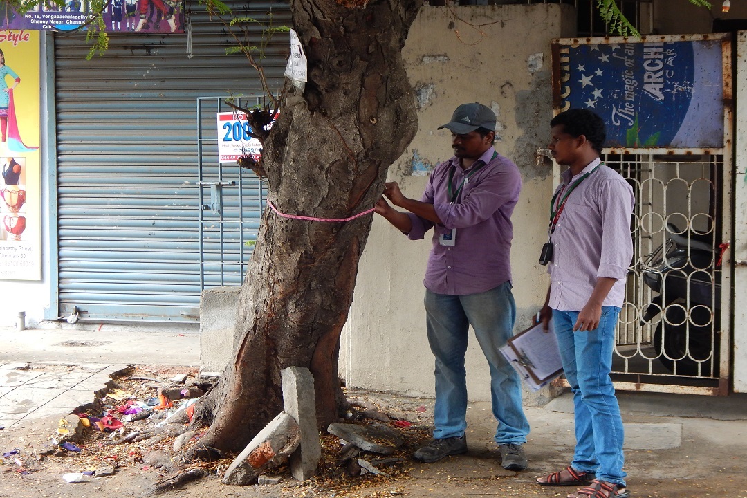
Care Earth Trust was tasked with studying and assessing existing urban green spaces within the Greater Chennai Corporation’s limits and the preparation of site specific strategies and structure plan for increasing of green cover. This was done by creating multifunctional landscapes and appropriate vegetation to enhance urban resilience and human well-being. Manuals for planting and maintenance of urban open spaces including medians were prepared as part of the project in addition to formulating legal and institutional setup for sustainable maintenance of proposed projects
Funded by State Forest Research Institute, Chennai
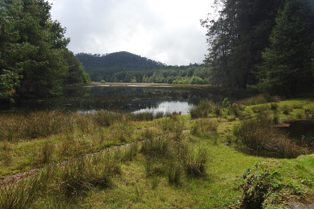
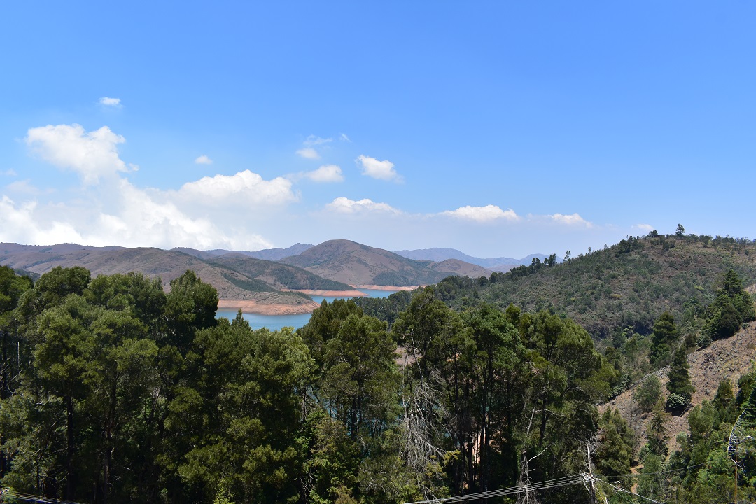
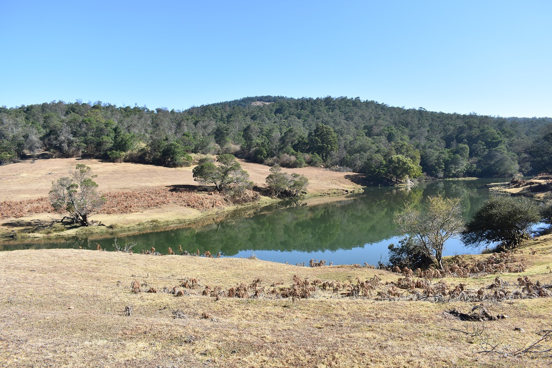
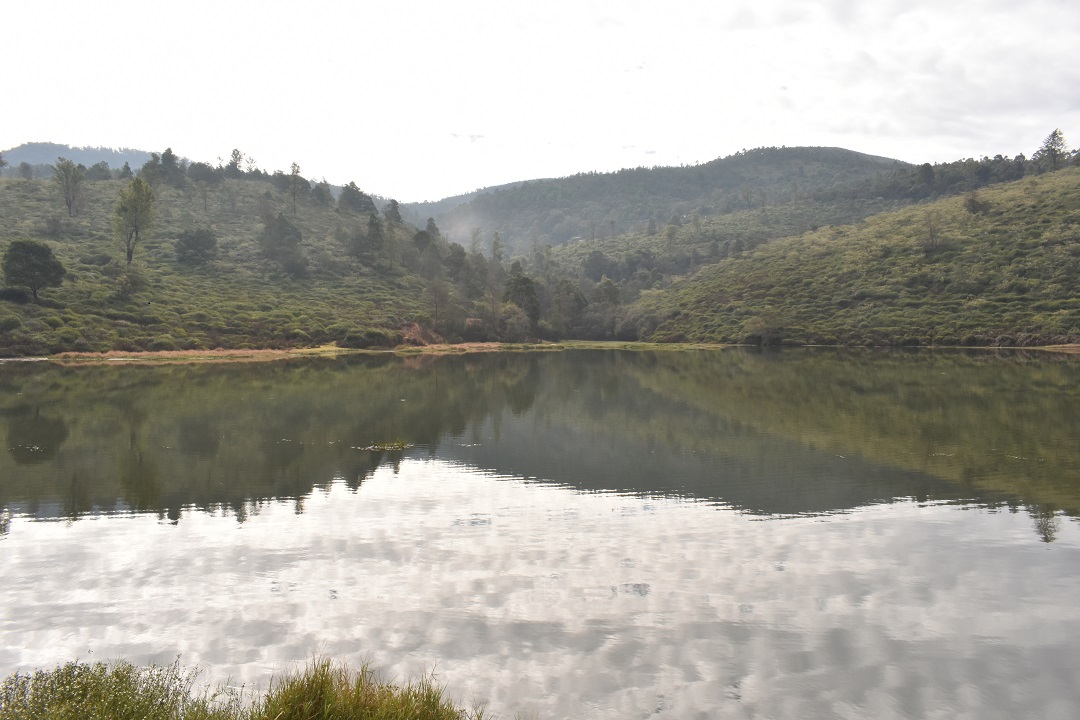
The project aimed at studying the distribution and characterization of mountain wetlands in Western Ghats of Tamil Nadu, and propose a plan for their protection and conservation. Field assessment, data analysis and mapping of high elevation wetlands in the Tamil Nadu Western Ghats were completed as part of the project along with analysing the drainage and disturbance patterns. An overarching plan for the protection and conservation of the state’s mountain wetlands were developed as part of the research work
Funded by Critical Ecosystem Partnership Fund (CEPF)
With the core objective of mainstreaming conservation goals across different sectors and levels of public administration in Tamil Nadu, the project aimed to create dialogue and integration of different departments and stakeholders to strengthen the dissemination of information and engagement for the conservation of the Western Ghats. The most significant accomplishment was the support provided to the Department of Planning, Development and Special Initiatives to draft the Special Area Development Programme for the Western Ghats of Tamil Nadu. Through this project, we also managed to achieve the support of the National Biodiversity Action Plan at the state level
Funded by Tamil Nadu State Land Use Research Board (TNSLURB), State Planning Commission, Government of Tamil Nadu
With a special emphasis on urbanization, landscape fragmentation, isolation, and the socio-ecological consequences of the land use and land cover change, we aimed at studying the trends and patterns of land use and land cover change. In this study, we focused on the Western districts of Tamil Nadu- Erode and Coimbatore. These areas had large tracts of forested land with moderately dense vegetation. Trends in the land use and land cover (LU/LC) study showed that there had been a huge decrease in forest areas and emergence of new land use category. On the other hand, an increase in crop lands was observed, which peaked in 1970-1980
Funded by Tamil Nadu State Land Use Research Board (TNSLURB), State Planning Commission, Government of Tamil Nadu
As part of the project, distal drivers of land use and land cover change at sites such as Kancheepuram, Nagapattinam, and Tirunelveli were studied. The Tirunelveli district represents the plains of Southern Western Ghats; the Kancheepuram district represents a mixed habitat of peri-urban/agrarian nature; finally, the Nagapattinam district represents the East Coast and a Ramsar site/Wildlife Sanctuary
Funded by Critical Ecosystem Partnership Fund (CEPF)
The project was drawn out in an effort to build the capabilities of decentralized democratic institutions. Through a process of participatory assessments, training and capacity building and joint development of the micro plan, Panchayats and local communities were engaged for the conservation of River Moyar. At least three out of the five Panchayats located along the river course had accomplished this. A set of conservation actions included setting up the River Moyar Conservation Brigade, Vulture Watchers, and the Community Conservation Learning Centre
Funded by Tamil Nadu Biodiversity Conservation and Greening Project, Tamil Nadu Forest Department
This study was commissioned by the Tamil Nadu Forest Department to address the issue of water availability and identify water stressed areas in Megamalai Wildlife Sanctuary, Guindy National Park, and Erode Forest Division. Remote sensing data as well as field assessments were employed to develop a water management strategy and action plan for the project sites. The study also helped identify and protect water resources originating in the watershed and extend the availability of water through appropriate interventions
Funded by Tamil Nadu Biodiversity Conservation and Greening Project, Tamil Nadu Forest Department
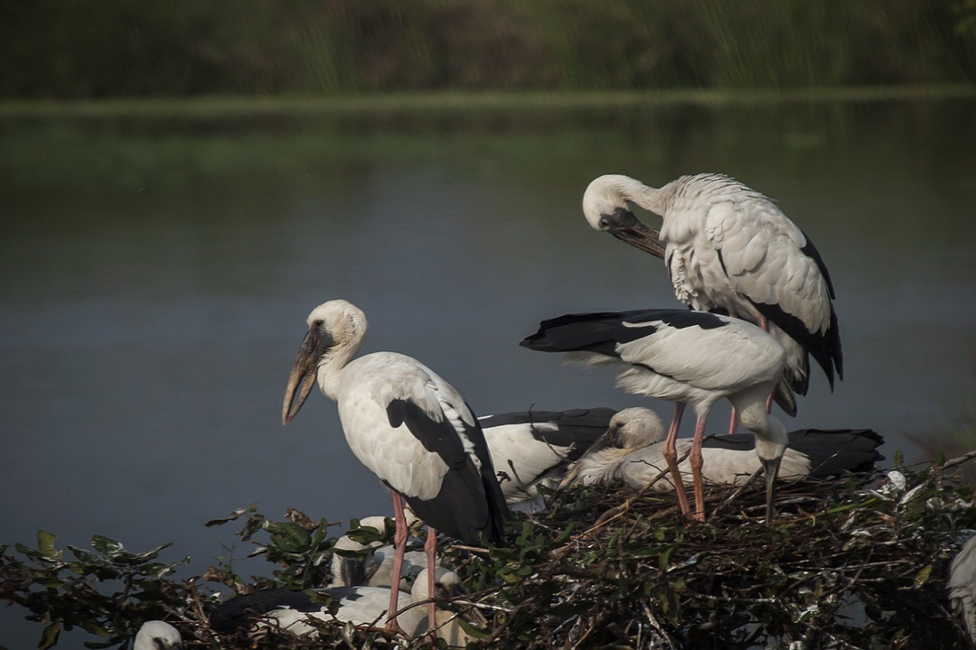
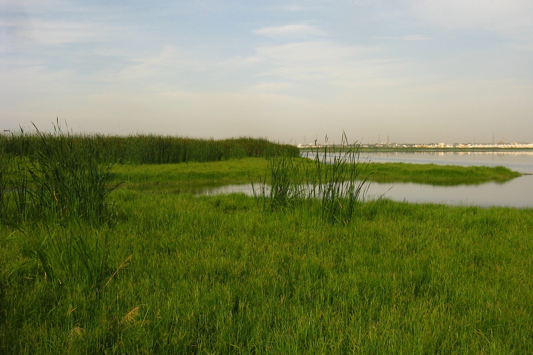
The Wetland Participatory Management Planning looked at developing a management and action plan based on primary and secondary studies to help strengthen the management of Bird Sanctuaries. The project aimed to enable key stakeholders such as the Public Works Department (PWD) and village communities to engage in the formulation of plans. The management plan included various recommendations encompassing different domains including identification of flagship species, water and wetland area management, biodiversity and habitat management, invasive species control and monitoring, management of wetland as public space through local community participation
Bird Sanctuaries that were investigated as part of the project include Vedanthangal, Karikili, Vellode, Vettangudi, Kanjirankulam, Chitrangudi, Mela-Selvanoor, Keela-Selvanoor, Koonthankulam, Vaduvoor and Udayamarthandpuram in Tamil Nadu
Funded by the Department of Environment, Government of Tamil Nadu
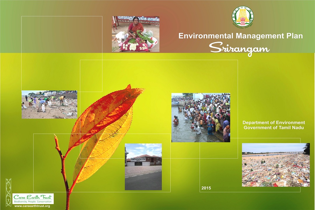
The project looked to map the environmental profile of Srirangam town and identify environmental pollution hotspots. An environment management plan was prepared to carry out restoration programmes along with a set of recommendations to ensure environmentally compatible land use planning. This involved consultations with a range of stakeholders through structured meetings and discussions; analysis of geographical data through maps for habitat, infrastructure, transport, choke points, agglomeration, pollution, etc. and field verification of the same through rapid assessments
Investigations and analyses revealed that environmental management of Srirangam city needs to be built on the buy-in of stakeholders such as the temple administration, state line departments, residents, pilgrims, service providers etc., And, it was recommended that the only way to achieve this is through massive awareness and capacity building programmes is which effectively illustrate the link between a clean environment and the sacred
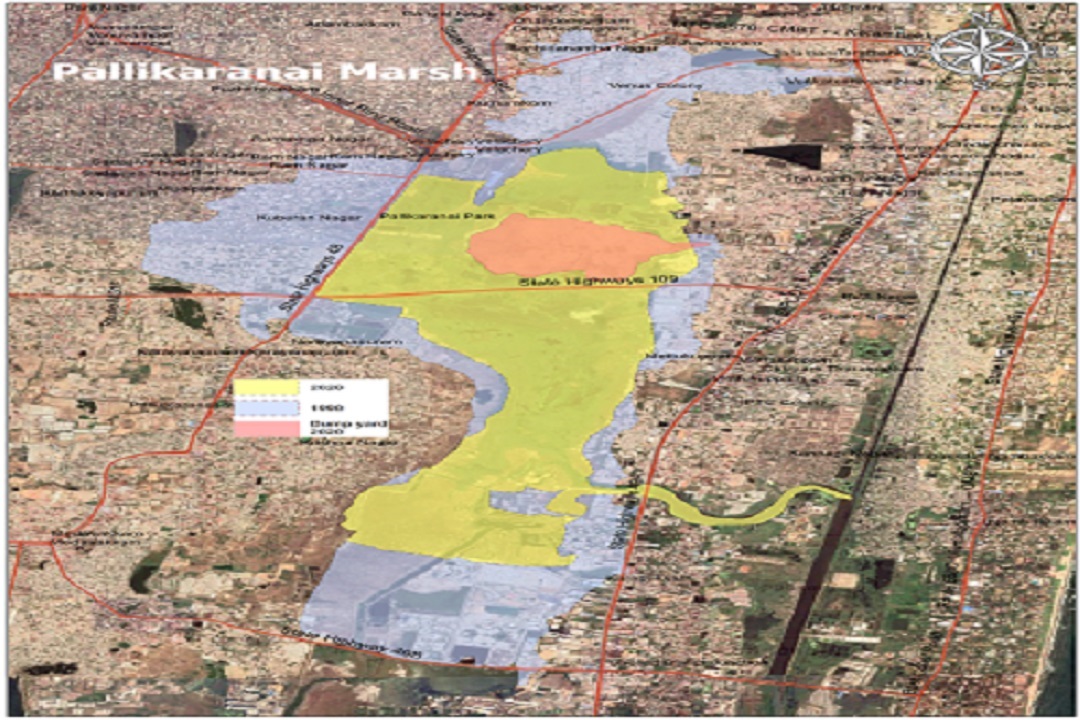
Funded by Conservation Authority of Pallikaranai Marshland and District Forest Officer, Chengalpattu Division, Kancheepuram, Tamil Nadu Forest Department
This project aimed at maintaining the protection, restoration, and conservation of the Pallikaranai Marshland looked at the development of a comprehensive management plan, based on the notion of the Adaptive Management, a flexible, inclusive and knowledge-based approach. Considering both people and nature equally, the plan looked to reconcile both conservation and development goals. In view of the significance and long term anthropogenic degradation of the Pallikaranai Marsh, it was recommended that while the first five years are considered as the building blocks for the process, definition of certain goals, notably those pertaining to habitat improvement need to be addressed in blocks of five years. It was also important that quarterly reviews of progress be undertaken to ensure mid-course correction, and establish benchmarks for monitoring achievements
Funded by Officers’ Training Academy
The scope of the project was enumeration of tree species, identification of threats, suggest restoration protocols and develop a plantation plan for the campus of the Officers’ Training Academy in Chennai. Biodiversity assessments were conducted and a list of species suitable for planting in appropriate locations were identified. A strategy to manage invasive species was also chalked out
Implemented for Indian Institute of Technology
Care Earth has drafted the Ecological Management Plans for the upcoming campuses of the Indian Institute of Technology in Tirupati, Palakkad, Dharwad and Jammu, outlining a set of processes and practices to meet the institute’s objectives of sustainable growth. Field assessments comprising of all out search, transects and sample plot surveys were done to assess the habitat and its constituent species; a set of flora/fauna were identified as bio-indicators of the campus. Geo-spatial analyses of the habitat for various parameters such as ecological zonation, human habitation and hydrology were carried out as part of the project as well
Implemented for Tamil Nadu Forest Department
Care Earth Trust was involved in the process for preparing a proposal to enable the certification of the Pallikaranai marsh as a Ramsar site. This included structured and open discussions with the senior officials of the Tamil Nadu Forest Department to enable an in depth understanding of data sources, data availability, and past, current and future plans of management. Data sources, reports and maps of the Forest Department were thoroughly studied in addition to incorporating inputs from published as well as unpublished sources of information. Boundaries were delineated to identify the candidate site and site visits were carried out to verify on ground
Implemented for Indian Institute Of Technology Madras
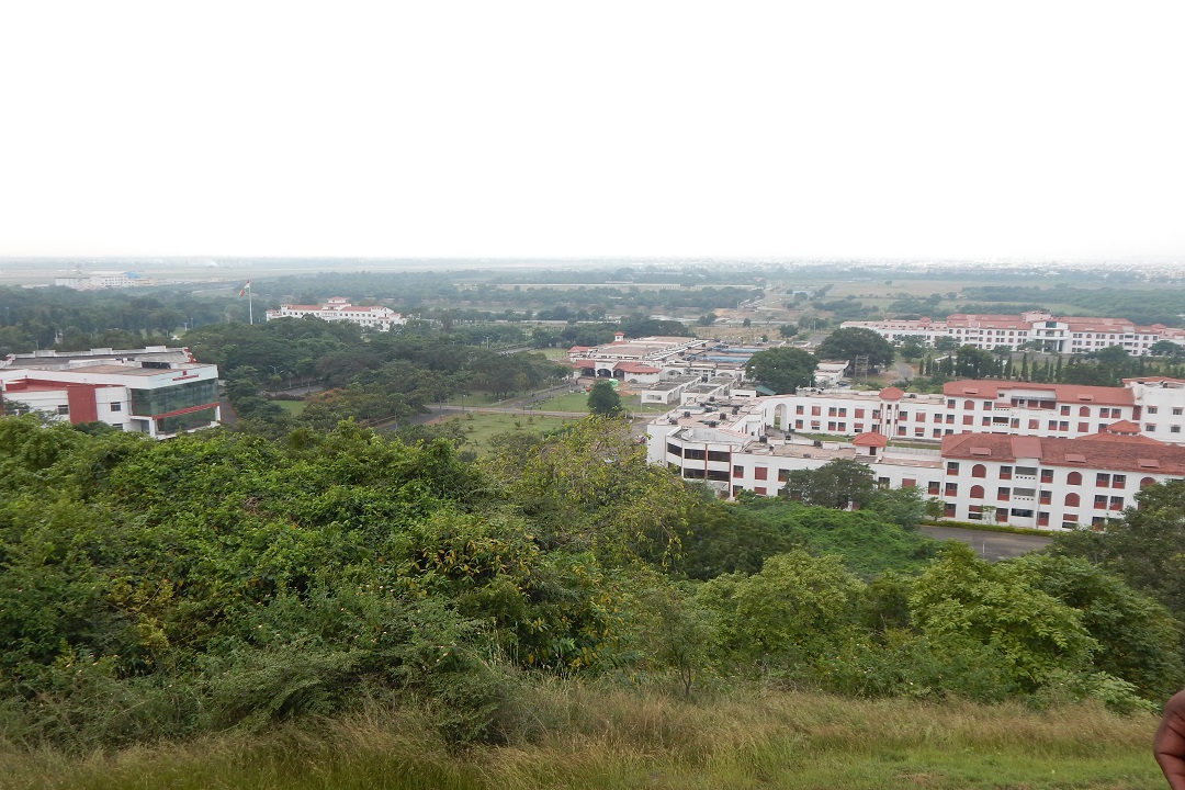
Care Earth was entrusted with the preparation of Ecological Management Plan for the proposed new campus of the Indian Institute of Technology Madras at Thaiyur in Kanchipuram district. As part of the project, selected classes of plants and animals in around the proposed new campus were enumerated; habitat use by these species were assessed and habitats of greater conservation value were identified
GIS based map of the current land use of the 150 acres was prepared in addition to one depicting the distribution of critical habitats. All out search for selected classes of plants and animal species was done and local abundance of selected flagship species was duly estimated